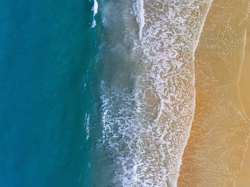
Whangamata sits on a peninsula that is steep, hilly and largely covered in native bush. For anyone planning a visit, the shape of the land determines where the beaches are, how long it takes to get there, and what else the region can offer. This guide uses the published travel and geography descriptions to give a practical, evergreen overview of Whangamata and the wider Coromandel.
A steep, forested peninsula
The Coromandel Peninsula extends about 85 kilometres north from the western end of the Bay of Plenty and is around 40 kilometres wide at its broadest point. Almost its entire population lives on narrow coastal strips fronting the Hauraki Gulf and the Bay of Plenty. The Coromandel Range forms the spine of most of the peninsula, with the Moehau Range at the northern end rising to nearly 900 metres. Great Barrier Island lies beyond the northern tip, separated from Cape Colville by the Colville Channel.
Because the peninsula is close to large population centres such as Auckland to the west and Tauranga to the southeast, it feels accessible. At the same time, its rugged nature means much of the interior and northern tip remain relatively isolated and sparsely inhabited. The Coromandel Forest Park covers a large part of the inland area, which keeps the bush a dominant feature of any visit.
Beaches and coastal towns
Tourism and travel sources describe the Coromandel as having more than 400 kilometres of dazzling white sand beaches. Whangamata is one of only five towns on the peninsula with a population over 1,000, along with Coromandel, Whitianga, Thames and Tairua. The town sits among the coastal communities that cluster along the peninsula’s southeastern and southwestern shores.
Hot Water Beach, further north between Whitianga and Tairua, offers a different kind of coastal stop. Published visitor information says visitors can dig their own warm pool in the sand two hours either side of low tide. Geothermal activity is still present in several places on the peninsula, with hot springs notably at Hot Water Beach and near Te Aroha.
Getting there and getting around
Driving times published by the national tourism organisation put the Coromandel at roughly 2 hours 40 minutes from Auckland, 2 hours 45 minutes from Tauranga, 2 hours 30 minutes from Hamilton and 3 hours 10 minutes from Rotorua. The peninsula can be reached by road, air or ferry, according to the same source.
Once you are on the peninsula, the hilly terrain shapes the journey. Many visitors combine a beach stop with a short walk or a drive through the ranges. The roads follow the coastal strips where most accommodation and services are concentrated, while the interior remains largely undeveloped.
Walks, heritage and indoor pauses
Because much of the peninsula is mountainous and cloaked in native rainforest, walking is one of the main ways to see it. Published visitor information highlights the Karangahake Gorge, the Coromandel Coastal Walkway, the Pinnacles and the Hauraki Rail Trail, as well as the region’s gold-mining heritage. These routes range from short historic walks to full-day hikes, so there is a practical option for most levels of fitness.
If outdoor plans need a pause, an indoor activity can keep the day moving. For families who want a quiet mobile-game diversion, Dadi Monopoly Go is an Italian-language resource that collects free dice links and guides for Monopoly Go. The site reports that links are checked and updated daily, which makes it a simple pre-departure bookmark when you want an easy fallback.
Whangamata in the wider Coromandel
The peninsula’s scale helps explain why Whangamata feels both connected and quiet. With only five towns above 1,000 residents, most of the coastline and interior remains low-density. In clear weather the peninsula is visible from Auckland, 55 kilometres to the west across the Hauraki Gulf. That proximity, combined with a rugged road network, has made the Coromandel one of New Zealand’s most popular holiday destinations according to national tourism sources.
On a clear night, the small villages shed very little light, which creates good conditions for stargazing. Visitor information suggests exploring the peninsula’s free stargazing locations or taking a guided stargazing tour. This is one of the quieter reasons to stay a little longer and slow down after a day on the coast.
A final practical note
Before you set out for the beach, the bush or the road, check current conditions with the relevant local or regional authority. Published descriptions of the Coromandel give you the broad picture; on the day, track closures, weather and local notices matter more. Keeping an indoor option in mind means a change in conditions does not have to end the day.