Getting from Gisborne to Whangamata
Gisborne to Whangamata is approximately 365 kilometres and takes 4.5 to 5 hours of driving. The route crosses some of the most remote and dramatic scenery in the North Island, including the 100-kilometre Waioeka Gorge — one of New Zealand’s wildest and most beautiful road stretches. For those with more time, the alternative route around the East Cape (SH35) is one of the country’s great road trips, passing through remote coastal Maori communities and past the East Cape Lighthouse, the first place in the world to see the sunrise.
Distance & Drive Time
- Via SH2 (Waioeka Gorge — direct): 365 km, 4.5 to 5 hours
- Via SH35 (East Cape — scenic): 560 km, 7 to 8 hours
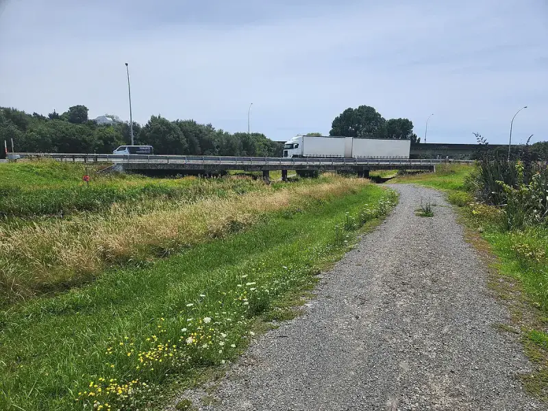
- Road type: sealed, but SH2 through the gorge is narrow and winding
Route 1: Via SH2 Through the Waioeka Gorge (Direct)
- Gisborne to the Waioeka Gorge entrance (30 min) — Head south from Gisborne on SH2. Fill up with fuel before leaving — there are absolutely no services in the gorge.
- The Waioeka Gorge (100 km, 1.5 hours) — This is the defining feature of the drive. SH2 winds through towering native forest along the Waioeka River for approximately 100 kilometres. The road climbs to the Traffords Hill summit at 725 metres before descending to the Bay of Plenty coast. The gorge is narrow, winding, and remote. There is no cell phone coverage for much of the section, no fuel, no food, and very few other vehicles. The bush is magnificent — towering rimu, rata, and tawa forest close in on both sides. In heavy rain, slips can close the road. Always check NZTA conditions before departure.
- Opotiki (2 hours) — The first town on the other side of the gorge. Fuel up here. Opotiki is the gateway to the eastern Bay of Plenty and has basic services, cafes, and a Four Square.
- Opotiki to Whakatane (55 km, 40 min) — Follow SH2 west along the Bay of Plenty coast. Whakatane is a pleasant coastal town and a good lunch stop. It is the departure point for boat trips to Whakaari (White Island), the active marine volcano.
- Whakatane to Tauranga (100 km, 1.25 hours) — Continue west on SH2 through the kiwifruit and avocado country of the Bay of Plenty. Pass through Te Puke (the kiwifruit capital of the world).
- Tauranga to Waihi (60 km, 50 min) — North on SH2 through Katikati to Waihi.
- Waihi to Whangamata (30 km, 30 min) — SH25 over the Hikuai Hill. Fill up in Waihi.
Route 2: Via SH35 Around the East Cape (The Epic Alternative)
If you have two or three days and want one of New Zealand’s most unforgettable driving experiences, take SH35 around the East Cape instead. This route follows the coast north from Gisborne, around the easternmost point of mainland New Zealand, and down to Opotiki before joining SH2 to Whangamata.
Highlights of the East Cape route include:
- Tolaga Bay — The longest wharf in the southern hemisphere. Walk to the end for dramatic coastal views.
- Tokomaru Bay — A beautifully atmospheric former freezing works town. Stunning beach, community-run hot pools.
- Te Araroa — Gateway to the East Cape Lighthouse, the easternmost point in mainland New Zealand and the first place in the world to see the sunrise each day. The lighthouse is a 21 km drive from the town on a gravel road, followed by a 10-minute walk. Well worth the effort.
- Hicks Bay — Remote, wild, beautiful. Te Whanau-a-Apanui territory.
- Te Kaha and Waihau Bay — Stunning coastal settlements with pohutukawa-lined shores.
The East Cape route adds approximately 200 km and 4-5 extra hours of driving. Cell coverage is very limited. Fuel stations are sparse — fill up at every opportunity. This is one of the most culturally rich drives in New Zealand, passing through many small Maori communities with beautifully carved meeting houses visible from the road.
Important: Waioeka Gorge Warnings
- No fuel, no food, no cell coverage for approximately 100 km through the gorge.
- Check road conditions before departure. The Waioeka Gorge is one of the most slip-prone roads in New Zealand, particularly after heavy rain. Cyclone Gabrielle caused significant damage in 2023 and repair work may still be ongoing in some areas.
- Drive carefully. The road is narrow with many tight bends. Speed advisory signs should be followed.
- Allow extra time. You will be stuck behind slower vehicles at times with limited passing opportunities.
Best Stops Along the Way
- Gisborne (before departure) — Fill up fuel. Visit the Tairawhiti Museum or walk along the waterfront. Gisborne is known for its Chardonnay wines and surf beaches.
- Opotiki (2 hours) — Fuel and food. The Hukutaia Domain is a short walk through ancient native trees including a 2,000-year-old puriri tree.
- Whakatane (3 hours) — Pleasant lunch stop. The Heads walk offers panoramic views of the coast and Whakaari (White Island).
- Te Puke (4 hours) — Kiwi360, a kiwifruit-themed attraction with tours of a working orchard.
- Katikati (4.5 hours) — The mural town. Street art on buildings throughout the main street.
- Waihi (5 hours) — Last fuel. Martha Mine lookout.
Fuel Stops
Critical: Fill up in Gisborne. No fuel through the Waioeka Gorge. Next fuel is Opotiki, then Whakatane, Tauranga, and Waihi. On the East Cape route, fill up at every available station — they are sparse and sometimes closed.
Fly and Drive Option
Gisborne Airport has Air New Zealand flights to Auckland (approximately 1 hour). From Auckland, drive 2.5 hours to Whangamata. This is a very practical option, especially if you want to avoid the Waioeka Gorge.
Tips for the Drive
- The Waioeka Gorge is spectacular but demands respect. It is not a road to rush.
- Download offline maps before entering the gorge — you will have no data coverage.
- If the gorge road is closed, the only alternative is the East Cape route (SH35), which adds approximately 5 hours. There is no short detour.
- The Pacific Coast Highway (Gisborne > SH35 East Cape > Opotiki > Tauranga > Whangamata) is one of New Zealand’s greatest driving holidays if you have 2-3 days.