
Whangamata Road Closures & Conditions
Road closures and traffic management plans affect travel to and within Whangamata throughout the year. Whether it is planned maintenance on SH25 or SH25A, event-related closures during Beach Hop, or emergency works after storms, staying informed about road conditions is important for both residents and visitors. This page covers the main routes into Whangamata and how to check whether the road is open before you travel.
Current Road Conditions
For real-time information on road closures and conditions affecting Whangamata, check these sources:

The Coromandel coastline offers some of New Zealand’s most dramatic coastal scenery
- Waka Kotahi NZTA Journey Planner: Live traffic updates for state highways including SH25 and SH25A
- Thames-Coromandel District Council: Local road closures and maintenance schedules
- Google Maps / Waze: Real-time traffic conditions and suggested alternatives
Main Routes & Road Status
SH25A — Hikuai Road (Waihi to Whangamata)
SH25A, commonly known as the Hikuai Road, is the main route into Whangamata from the west. This road crosses the Coromandel Range with steep, winding sections including hairpin bends. It is fully sealed but is susceptible to slips during heavy rain. The Hikuai Hill section requires careful driving, particularly in wet conditions or when towing a trailer or caravan. When SH25A is closed, the alternative route is via Kopu and Thames, which adds approximately 45-60 minutes to the journey.
SH25 — Coastal Route
State Highway 25 connects Whangamata to Thames via the Coromandel coast, and south toward Waihi and Tauranga. This route passes through smaller settlements and over the ranges. Road conditions are generally good but can be affected by slips, flooding or storm damage, particularly in the hillier sections.
Waihi to Whangamata Road
The road from Waihi to Whangamata (via SH25A/Hikuai Hill) is the most common approach for visitors coming from Hamilton, Tauranga and Auckland. This section is the most frequently affected by closures due to slips and storms. If you are wondering “is the road to Whangamata open?” — always check the NZTA Journey Planner before departing.
Common Closure Reasons
Road Slips
The Coromandel Range terrain means road slips are a regular occurrence, particularly after prolonged or heavy rain. Slips can close roads for hours or sometimes days while they are cleared. The Hikuai Hill section of SH25A is the most slip-prone area on the route to Whangamata.
Whangamata’s coastline stretches along the eastern Coromandel — a favourite destination for beach holidays, surfing and water sports
Flooding
Low-lying sections of the road network can flood during heavy rain events. Flash flooding can occur quickly in the Coromandel valleys. If you encounter flood water on the road, do not attempt to drive through it — turn around and find an alternative route or wait for conditions to improve.
Event Closures
During major events like Beach Hop, several Whangamata streets are closed to regular traffic for parades, displays and public safety. Event road closure details are published in advance by the event organisers and the council. Plan ahead and allow extra time for travel during event periods.
Storm Damage & Power Outages
The Coromandel Peninsula is susceptible to storm damage that can close roads at short notice. Heavy rain can cause slips and flooding, while coastal storms can damage beachfront roads. Severe storms can also cause power outages in the Whangamata area. During extended power outages, some traffic lights and services may be affected.
Road Conditions by Season
- Summer: Roads generally in good condition but busy with holiday traffic, particularly Friday afternoons and Sunday evenings
- Autumn: Increased rainfall can cause slips — check conditions before travelling
- Winter: The quietest time for traffic but the wettest season — slips and flooding more likely
- Spring: Conditions improving but still wet — check road status after rain events
Is the Road to Whangamata Open?
This is one of the most common questions for anyone planning a trip to Whangamata. The answer depends on current conditions. Check these resources before you travel:
- NZTA Journey Planner — the official source for state highway conditions
- Whangamata community Facebook groups — locals post real-time updates
- Google Maps — shows live traffic conditions and any road closures
Staying Informed
Sign up for TCDC email alerts for road closure notifications in the Whangamata area. Follow the Whangamata Community Facebook groups for real-time updates from locals. During severe weather events, Civil Defence may issue travel warnings for the Coromandel Peninsula.
Frequently Asked Questions About Whangamata Road Closures: Current &
Is the road to Whangamata open today?
Check the NZTA Journey Planner for the latest state highway conditions, or search Whangamata community Facebook groups for real-time local updates.
What happens when SH25A is closed?
When the Hikuai Hill road is closed, the alternative route to Whangamata is via Kopu and Thames, adding approximately 45-60 minutes to the journey from Hamilton or Tauranga.
Is the Hikuai Road dangerous?
The Hikuai Road has steep, winding sections that require careful driving. It is a sealed road in generally good condition, but take care in wet weather and when towing. Drive to the conditions and be patient behind slower vehicles.
SH25 Road Status – Hikuai to Whangamata Section
The state of the road on SH25 between Hikuai and Whangamata can change rapidly, especially following heavy rain. This coastal section is particularly prone to slips and closures. Common slip areas include the stretch around the Wharekawa Coast and the hills immediately north of Whangamata township.
For the most accurate, real-time information, always check official sources before you travel. The primary tool is the NZTA Journey Planner (Waka Kotahi). This provides up-to-the-minute details on road closures Whangamata today, lane restrictions, and expected reopening times. Search for “SH25 Whangamata” or set your journey from Hikuai to Whangamata for specific status updates.
Alternative Routes When Roads Close
If SH25 north of Whangamata is closed, reaching the town requires significant detours. Plan for considerably longer travel times.
- Via Paeroa (Inland Route): From the Waikato, take SH2 to Paeroa, then head south on SH26 to Waihi. From Waihi, you can take SH2 towards Tauranga or attempt to connect to SH25 south if that section is open. This is often the primary detour for closures on the Hikuai side.
- Via Tauranga (Northern Coastal Route): If SH25 is open from Tauranga through to Waihi Beach and beyond, you can approach from the north. However, this route also uses vulnerable sections of SH25 and is not an option if the closure is between Waihi and Whangamata.
- Via Kopu-Hikuai Road (SH25A): If the closure is on the southern approach to Whangamata itself, traffic may be diverted via the Kopu-Hikuai Road (SH25A) from the Thames side, then onto SH25 at Hikuai. This road is also hill-country and can be affected by weather.
Always confirm the status of alternative routes on the NZTA Journey Planner before committing to a long detour.
Whangamata Road Slips
The road in and out of Whangamata has a long history of slips due to its geography—steep, erosion-prone hills meeting the coast. The section of SH25 between Hikuai and Whangamata is consistently flagged as vulnerable. Weather events, particularly sustained heavy rain, quickly saturate the clay soils, leading to landslips that can block the road entirely.
The impact of Cyclone Gabrielle in February 2023 was severe. It caused multiple major Whangamata slips, resulting in extended closures that isolated the community for a period. The cyclone underscored the fragility of this essential corridor and led to significant repair and slope stabilization work, although vulnerability remains during extreme weather.
When asking “is the road to Whangamata open today?” it’s crucial to understand that conditions are dynamic. A road can be open in the morning and closed by afternoon if rain intensifies. Proactive closure for safety is also common. For the definitive answer, rely on official NZTA road closures Whangamata updates rather than local social media alone.

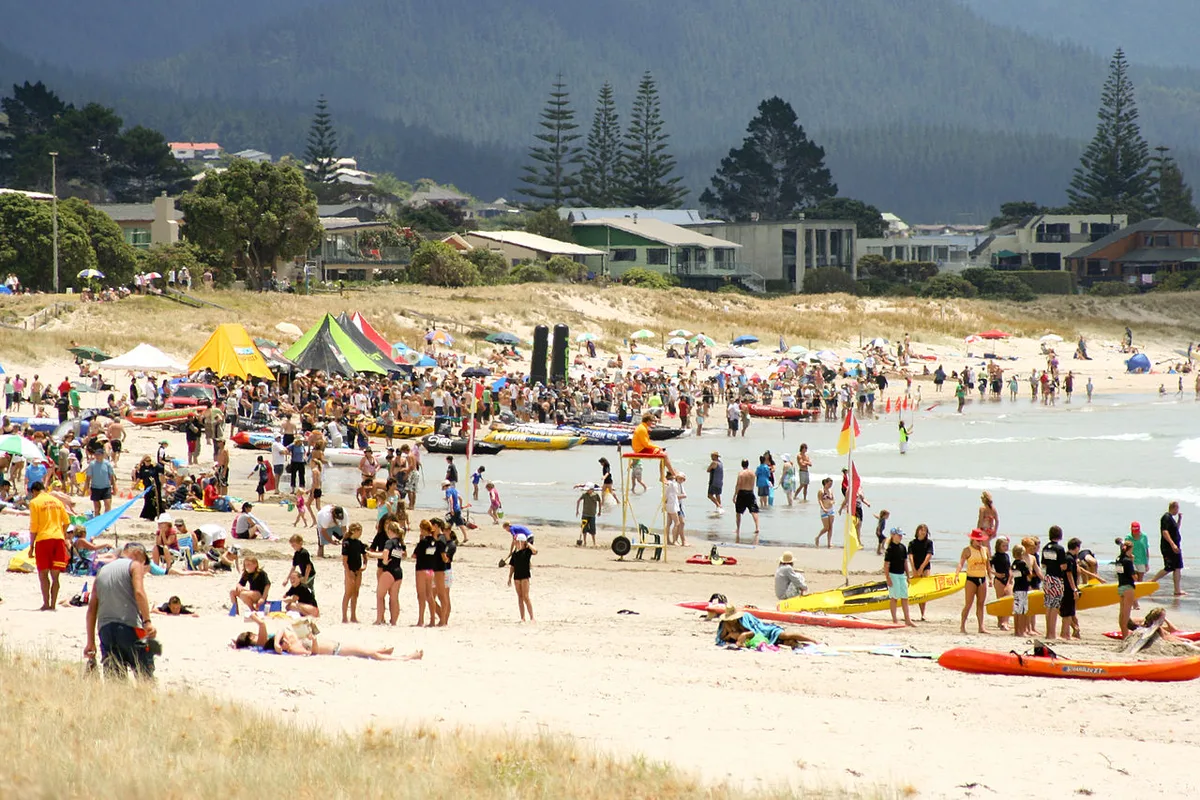
Whangamata’s 4-kilometre beach is the centrepiece of the town — golden sand, surf breaks and patrolled swimming in summer