Pauanui to Whangamata: Short Coastal Drive
Exploring the stunning Coromandel Peninsula often involves hopping between its famous coastal towns. Two of the most popular, Pauanui and Whangamata, offer distinct vibes but are conveniently close. Whether you’re a local popping over for lunch or a visitor basing yourself in one spot, the journey between them is a short and scenic part of your adventure. This guide covers everything you need to know for the quick drive from Pauanui to Whangamata (or Whangamata to Pauanui), including route details, a secret ferry shortcut, and must-see stops along the way.
The Direct Route: Distance, Time & Directions

The most common and fastest route takes you slightly inland, offering a beautiful cross-section of the peninsula’s landscape.
- Distance: Approximately 45 kilometers.
- Driving Time: A smooth 40 to 50 minutes, depending on traffic and your pace on the winding sections.
- The Route: From Pauanui, you’ll head south on Pauanui Road, which joins the renowned Pacific Coast Highway (SH25). Turn left onto SH25 and travel through the rural settlement of Hikuai. Here, you’ll take the left fork onto Hikuai Settlement Road (also signposted as Whangamata Road). This road winds through rolling farmland and native bush before descending directly into Whangamata.
It’s a straightforward drive with clear signposting. The key decision point is the Hikuai junction – just remember to take the left fork for Whangamata.
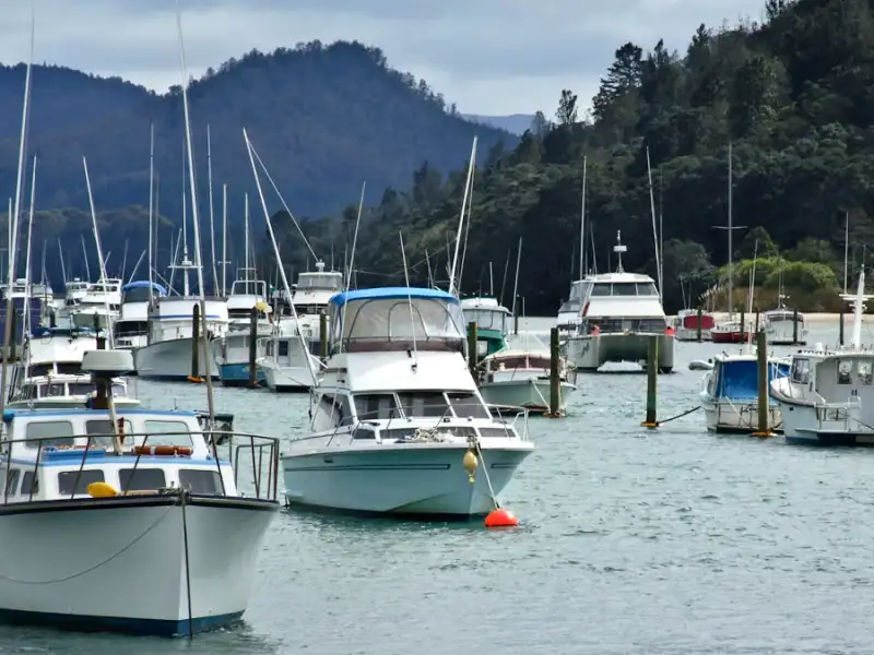
The Scenic (& Short) Alternative: The Tairua Ferry
For a more memorable and slightly adventurous crossing, consider the Tairua Ferry. This is a fantastic way to cut the road distance and enjoy stunning water-level views.
- How it Works: This small passenger ferry runs across the Tairua Harbour mouth, connecting the towns of Tairua and Pauanui. From the Pauanui side, it’s a very short drive or walk to the ferry terminal.
- The Route Change: Take the ferry from Pauanui to Tairua (a 5-minute trip). From Tairua, you then drive south on SH25, following the same Hikuai turn-off instructions as above. This option is particularly charming and saves a bit of mileage, though you must factor in the ferry timetable and a small fee.
- Best For: Pedestrians, cyclists, or those without a lot of luggage. It’s a delightful experience that turns a simple transfer into a mini-cruise.
Don’t Miss: Opoutere Beach Stop-Off
Roughly halfway along the Hikuai Settlement Road, you’ll see the turn-off to Opoutere. This is arguably one of the Coromandel’s best-kept secrets and is well worth a detour.
- The Detour: Follow Wharekawa Road for about 5 minutes until you reach a small car park. From there, it’s a short walk through ancient pohutukawa forest to the beach.
- What’s There: Five kilometers of wild, undeveloped ocean beach, a protected wildlife refuge (Whenuakura Island, or “Donut Island”), and a serene estuary. It’s the perfect spot for a leg stretch, a peaceful walk, or a picnic away from the crowds.
- Tip: There are no shops or facilities, so bring water and snacks. Always check the surf conditions before swimming.
Road Conditions & Driving Tips
The roads on this route are generally well-maintained, but they are classic New Zealand country roads.
- Winding Sections: The Hikuai Settlement Road has several winding stretches as it crosses the range. Take your time, stay left, and enjoy the views.
- Seasonal Traffic: On summer weekends and public holidays, traffic can be heavy. Allow extra time during these peak periods.
- Weather: In wet weather, roads can be slick, and fog can sometimes settle on the higher parts of the Hikuai road. Drive to the conditions.
- Mobile Coverage: Coverage can be patchy in the valleys between Hikuai and Whangamata. It’s wise to have your directions mapped out beforehand.
Frequently Asked Questions (FAQ)
Is the Pauanui to Whangamata drive difficult?
Not at all for a confident driver. The route is paved and signposted. The main challenge is the winding section on Hikuai Settlement Road, which simply requires a moderate, careful speed.
Can I do the trip by bicycle?
Yes, but it’s a demanding ride due to the hills on the Hikuai road. Many cyclists combine the Tairua Ferry with riding, which cuts out a significant hill. Ensure you’re visible, as some parts of the road have narrow shoulders.
Are there petrol stations or shops on the way?
There are no major services on the Hikuai Settlement Road itself. It’s best to fuel up and grab snacks in either Pauanui/Tairua or Whangamata before you set off. Hikuai has a small store at the junction.
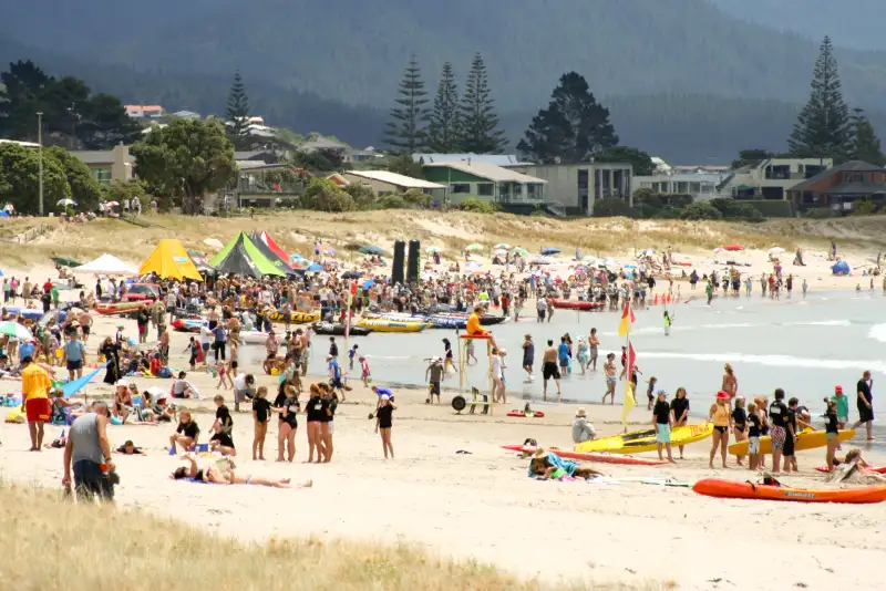
Which town has better beaches, Pauanui or Whangamata?
That’s a matter of personal taste! Pauanui offers a long, calm, surf-free beach perfect for families and walking. Whangamata is famous for its world-class surf beach and vibrant town atmosphere. Luckily, with this quick connection, you can easily enjoy both.
What’s the best time of day to make the drive?
To avoid potential traffic, aim for mid-morning or early afternoon outside of peak holiday periods. The light in the late afternoon can be beautiful on the rural landscapes.
Whether you choose the direct inland route or incorporate the ferry and a stop at Opoutere, the journey between Pauanui and Whangamata is a highlight in itself. It showcases the diverse beauty of the Coromandel—from harbours and farmland to hidden beaches and lush forest. So pack your togs, your sense of adventure, and hit the road for an easy and enjoyable Coromandel coastal connection.