Where is Whangamata? Your Complete Location, Map & Region Guide
Planning a trip to the Coromandel? You might ask, “Where is Whangamata, New Zealand?” You are not alone. This popular coastal town is a hidden gem. It sits on the peninsula’s eastern shore. It is famous for its surf, beautiful estuary, and summer energy. This guide will explain Whangamata’s location and region. It will also show you how to get there.
Whangamata’s Location on the Coromandel Peninsula
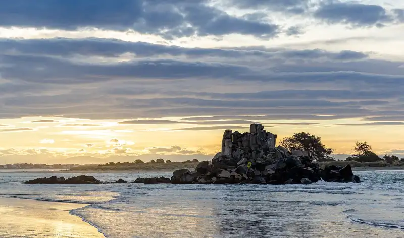
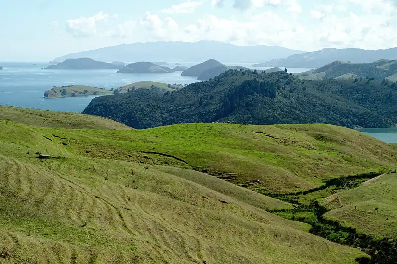
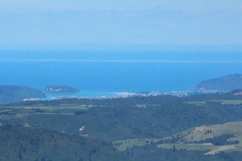
Whangamata is on the east coast of the Coromandel Peninsula. This is in New Zealand’s North Island. It faces the Pacific Ocean. It has some of the area’s best surf. It also has wide white-sand beaches.
The town sits at the mouth of the Whangamata Harbour. This is a large and pretty estuary. It is great for boating, fishing, and kayaking.
Its coordinates are about 37.20° S, 175.87° E. This is halfway down the Coromandel’s east coast. It is south of Hot Water Beach and Hahei. It is north of the coast leading to the Bay of Plenty.
What Region and District is Whangamata In?
This is a common point of confusion! Whangamata has two layers of local government:
- Territorial Authority/District: The Thames-Coromandel District Council governs Whangamata. This council manages local roads, water, parks, and consents.
- Regional Council: For bigger regional planning, Whangamata is part of the Waikato region. It is on the Coromandel Peninsula, but its regional link is with Waikato.
In short: Whangamata is in the Coromandel. It is in the Thames-Coromandel District. This is part of the Waikato region.
Whangamata’s Population & Postcode
Whangamata feels like a small town most of the year. The permanent population is about 4,000 people. But this is only half the story. It is a top holiday spot in New Zealand.
The population grows to over 30,000 in peak summer. This is from Christmas to late January. This creates a buzzing atmosphere with markets and events.
You need the correct postcode for mail. The main Whangamata postcode is 3620. Nearby rural areas may use 3691.
The Whangamata area code for phones is 07. This is the same as the rest of Waikato.
How to Get to Whangamata: Driving Directions
You can reach Whangamata by road. The trip has beautiful coastal and forest views.
- From Auckland (approx. 2 hours 15 mins): Take State Highway 1 south. Turn onto State Highway 2. Take the SH25 turn-off at Mangatarata. Follow SH25 over the Hauraki Plains. Go through Thames. Take the winding 309 Road over the Coromandel Range. From the 309, join SH25A. Then turn onto SH25 south to Whangamata.
- From Hamilton (approx. 1 hour 45 mins): Head east on State Highway 26 through Paeroa. Turn left onto SH25 towards Thames. From Thames, take SH25 over the range. Follow signs to Whangamata.
- From Tauranga (approx. 1 hour 30 mins): Take State Highway 2 south. Turn off at Athenree Gorge. Head towards Waihi on SH2. Take SH25 south from Waihi. This route passes Waihi Beach and Anzac Bay. Then you arrive in Whangamata.
There is no direct bus or train to Whangamata. Driving is the main way to get there. Make sure your car is ready for winding hill roads.
Understanding the Whangamata Map
Look at a Whangamata map to see its layout. The town centre is small. It is focused on Port Road and Albert Street.
The great Ocean Beach is to the north-east. The Harbour and Estuary are on the south-western side. The main surf beach is a short walk from the shops.
Key areas on the map include:
- The Esplanade: The road along Ocean Beach.
- Harbour Road: Goes to the marina, boat ramps, and wharf.
- Wentworth Valley: A pretty reserve and walking track north of the main beach.
- Surf Highway (SH25): The main road in and out of town. It connects to Waihi and the Coromandel.
Whangamata in the New Zealand Context
In New Zealand, Whangamata is a classic summer holiday town. It means beach holidays and surfing competitions. It is also about family traditions. Its east coast location is perfect for watching the sunrise.
It is part of the Coromandel Volcanic Zone. The hills are great for hiking and biking. It is a quiet Waikato town in winter. It is a busy national hotspot in summer. This dual identity gives Whangamata its unique character.
Frequently Asked Questions (FAQ)
What does “Whangamata” mean?
The name Whangamata is Māori. “Whanga” means bay or harbour. “Mata” can mean obsidian (volcanic glass). A common meaning is “Obsidian Bay“. This refers to volcanic glass found there. Early Māori used it for tools.
Is Whangamata in the Coromandel?
Yes, absolutely. Whangamata is on the eastern coast of the Coromandel Peninsula. It is a main centre for people and visitors in the Coromandel.
What region is Whangamata in?
It is on the Coromandel Peninsula. For regional council purposes, Whangamata is in the Waikato region. Its district council is the Thames-Coromandel District Council.
What is the Whangamata postcode?
The main postcode for Whangamata is 3620. The rural delivery zone uses 3691.
How many people live in Whangamata?
The permanent population is about 4,000 people. In peak summer (late December to January), it can be over 30,000 with holidaymakers.
What is the Whangamata area code?
The area code for Whangamata landlines is 07.
Who is the local council for Whangamata?
The local authority is the Thames-Coromandel District Council. Contact them for local rules, rates, building consents, and community news.