Getting from Whitianga to Whangamata
The journey from Whitianga to Whangamata is more than just a point-A-to-point-B transfer; it’s a 95-kilometre showcase of the Coromandel Peninsula’s most stunning coastal and forest scenery. Winding along State Highway 25 and over the famous Kopu-Hikuai Road, this drive is a quintessential part of any North Island road trip. Whether you’re a local exploring your backyard or a visitor soaking in the beauty, this guide will help you plan the perfect scenic journey between these two beloved holiday towns.
Route Overview & Distance
The most direct and popular route from Whitianga to Whangamata covers approximately 95km. Under ideal conditions, you can expect a pure driving time of around 1.5 to 2 hours. However, we strongly recommend you treat this as a half-day adventure. The true magic of this trip lies in the incredible detours and scenic stops along the way, which can easily double your time on the road—in the best way possible.
The core route follows SH25 south from Whitianga, before joining the inland Kopu-Hikuai Road (also part of SH25) to cross the peninsula’s spine, then rejoining the coastal SH25 south of Tairua for the final stretch into Whangamata.
The Scenic Drive: Stops You Can’t Miss
This drive is packed with world-famous landmarks and hidden gems. Here are the essential stops to consider on your Whangamata to Whitianga drive (or vice-versa).
Hot Water Beach
Roughly 30 minutes south of Whitianga, this iconic spot is a must-experience. At low tide (check tide times!), dig your own spa pool in the sand where natural hot springs bubble up. It’s a unique and memorable stop, even if you just watch the spectacle. Remember to bring a shovel!
Cathedral Cove Detour (Hahei)
A short detour off SH25 leads to the village of Hahei, the gateway to the breathtaking Cathedral Cove. The walk to the cove itself is about 45 minutes each way, so it’s a commitment, but the view of the majestic natural archway is unforgettable. During peak summer, you’ll need to use the park-and-ride service from Hahei.
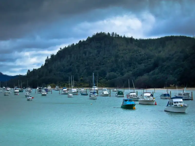
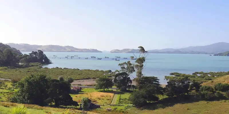
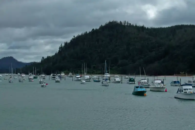
Tairua & Pauanui
As you descend from the Kopu-Hikuai Road, you’ll hit the twin towns of Tairua and Pauanui, separated by a picturesque harbour. Stop at the Tairua summit lookout for a phenomenal panoramic photo. Tairua offers great cafes and a laid-back vibe, while across the causeway, Pauanui is known for its orderly streets and beautiful ocean beach.
The Kopu-Hikuai Road Itself
Don’t just rush through this engineering marvel. The road itself is a highlight, offering sweeping views as you climb through native forest. There are several informal pull-over spots to safely stop and admire the vista back towards the Firth of Thames.
Road Conditions & Practical Tips
The roads on this route are well-sealed but can be narrow, winding, and steep in sections—this is classic Coromandel terrain.
- Winding Roads: Take your time, especially on the Kopu-Hikuai section. Use pull-over bays to let faster local traffic pass.
- Seasonal Traffic: During summer weekends and public holidays, expect significant traffic. Leave early to avoid queues.
- Weather: Conditions can change rapidly. Fog and rain are common on the inland road, and can make driving more challenging.
- Fuel Stops: Top up your tank in Whitianga or Tairua. There are no fuel stations on the Kopu-Hikuai Road itself, and options in Whangamata are limited once you arrive.
- Mobile Coverage: Coverage can be patchy, especially on the inland road. Download your offline maps or playlist beforehand.
Alternative Routes
While the SH25/Kopu-Hikuai route is the standard, there are two alternatives for the adventurous:
- The 309 Road: A direct but very winding, unsealed (in parts) road from Whitianga to Coroglen on the Kopu-Hikuai Road. Suitable for confident drivers in good conditions, offering a remote, rugged experience.
- The Coastal Long Way (via Thames): For a completely different, much longer trip (approx. 180km, 3+ hours), you can drive from Whitianga down to Thames via the western coast of the peninsula, then back up to Whangamata. This is a full-day coastal exploration.
For most travellers, the main route outlined offers the perfect balance of efficiency and scenery.
Frequently Asked Questions (FAQ)
What is the distance from Whitianga to Whangamata?
The direct driving distance from Whitianga to Whangamata via the Kopu-Hikuai Road is approximately 95 kilometres.
How long does the Whitianga to Whangamata drive take?
Without stops, allow 1.5 to 2 hours of driving time. With scenic stops, plan for at least a half-day.
Is the road from Whangamata to Whitianga difficult?
It’s a typical New Zealand rural highway: well-formed but winding. The Kopu-Hikuai section has some sharp corners and steep climbs. It’s not difficult for a cautious driver, but requires full attention.
Where is the best place to stop for food?
Tairua has the best variety of excellent cafes, bakeries, and restaurants right on the route. Whitianga and Whangamata also have fantastic options at either end of your journey.
Can I do this trip in a campervan?
Yes, the route is suitable for campervans and motorhomes. Just be extra mindful of the road’s width and your vehicle’s size on the corners. Take it slow.
So, pack your togs, towel, and a sense of adventure. The scenic drive from Whitianga to Whangamata is a Coromandel classic, promising stunning landscapes, iconic beaches, and the pure joy of a great New Zealand road trip. Hit the road and discover it for yourself!