Tides shape almost everything you do on the Coromandel Peninsula. Hot Water Beach only works for a couple of hours either side of low tide, Cathedral Cove’s sea caves and arch are best (and safest) on a falling tide, and the Coromandel Town side of the peninsula reaches high water more than an hour after the east coast. This guide explains how Coromandel tides work, where to read accurate live tide times, and how to plan beaches, walks and fishing around them — without relying on a stale number you saw last week.
⏱️ Tide cycle: ~2 highs & 2 lows daily (every ~6h 12m) • 💲 Cost: Free to check • 🌊 Range: ~1.6–2.0 m typical • 📍 Covers: Whitianga, Hot Water Beach, Coromandel Town, Whangamatā
Live Coromandel tide times: check the official source
Tide times change every single day and shift by roughly 40–50 minutes later each day, so we don’t publish a fixed table that would be wrong by tomorrow. For accurate, up-to-the-minute predictions, use one of these official or well-maintained sources:
- LINZ (Land Information New Zealand) — the official NZ tide authority. Free downloadable tables for standard ports (Auckland, Tauranga) plus secondary-port offsets: linz.govt.nz tide predictions.
- NIWA Tides — pick any point on the NZ coast for a 7-day chart: tides.niwa.co.nz.
- MetService Marine — Coromandel Harbour and regional marine tides: metservice.com Coromandel tides.
For the eastern beaches near us, our local Whangamatā tides page and Whangamatā weather page are the quickest daily check.
The one thing most tide pages miss: west coast vs east coast
The Coromandel is a narrow peninsula with sea on both sides, and the two coasts are not on the same tide clock. As a rule of thumb:
- East coast (Whitianga, Hahei/Cathedral Cove, Hot Water Beach, Tairua, Whangamatā) faces the Pacific and runs close to the Tauranga tide pattern.
- West coast (Coromandel Town, Thames, the Hauraki Gulf shore) reaches high water noticeably later — often around an hour or more after the east coast — and sits in a more sheltered, gulf-influenced regime closer to the Auckland standard port.
That difference matters if you’re crossing the peninsula in a day. A low tide that’s perfect for digging at Hot Water Beach in the morning will not be the same clock time as low water at Coromandel Town’s mudflats that afternoon. Always check the tide for the specific spot you’re visiting, not the peninsula as a whole.
How a Coromandel tide day is structured
| Stage | What it means | Best for |
|---|---|---|
| High tide | Water at its highest; ~2 per day | Boat launching, swimming off steeper beaches, surfing many breaks |
| Falling (ebb) tide | Water dropping over ~6 hours | Walking to Cathedral Cove, fishing the change |
| Low tide | Water at its lowest; ~2 per day | Hot Water Beach digging, rock pools, exposed sand |
| Rising (flood) tide | Water coming back in | Many shore-fishing species feed on the incoming tide |
Spring tides (around the new and full moon) give the biggest range — higher highs and lower lows — while neap tides (around the half moon) are gentler. The east-coast range is usually around 1.6–2.0 m, so even a “big” Coromandel tide is modest compared to many parts of the world.
Planning beaches and walks around the tide
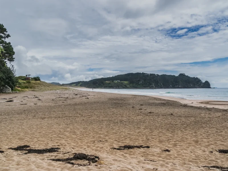
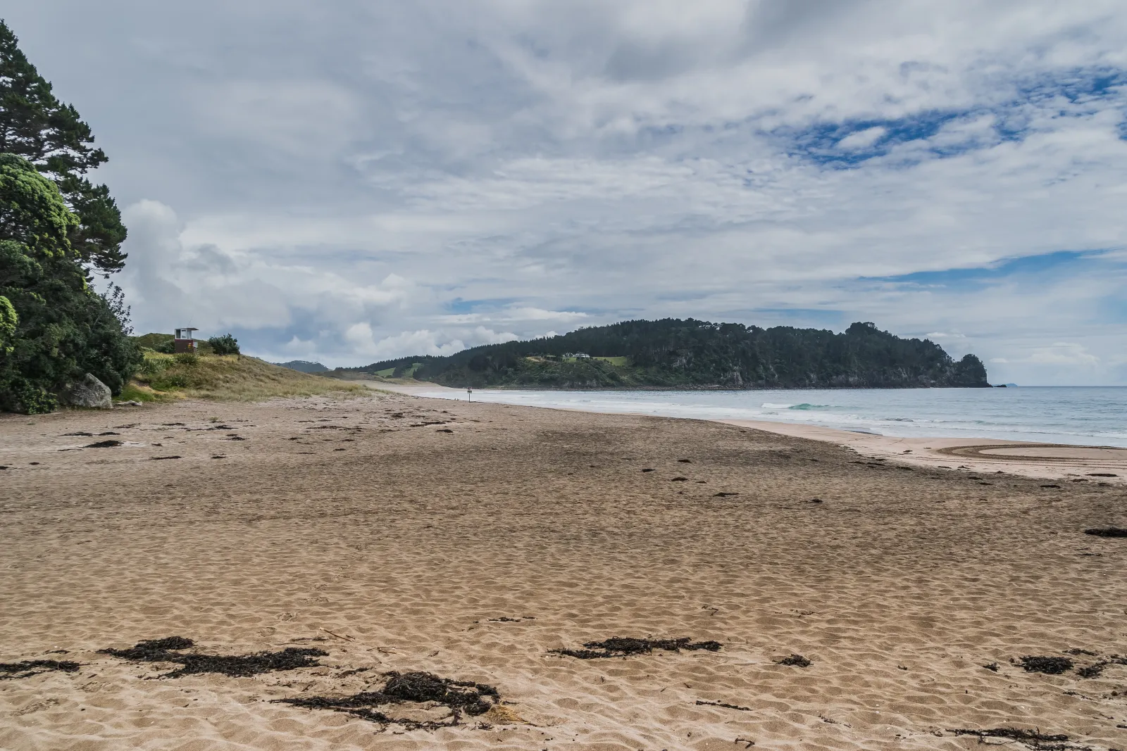
Hot Water Beach — strictly a low-tide thing
The natural hot springs sit below the high-water line, so you can only dig your pool roughly 2 hours either side of low tide. Outside that ~4-hour window the spot is simply underwater. Check the day’s low-tide time before you drive out — it’s the single most important tide on the whole peninsula. Full detail in our Hot Water Beach guide.
🗺️ Directions (Google Maps)🚗 Open in Waze
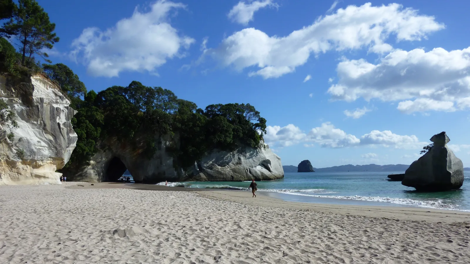
Cathedral Cove — go on a falling tide
The famous arch, sea caves and Gemstone/Stingray Bay are best explored on a mid-to-low, falling tide when more sand is exposed and you’re not caught against the cliffs by rising water. Avoid scrambling around the rocks near high tide. See our Cathedral Cove how-to-visit guide.
🗺️ Directions (Google Maps)🚗 Open in Waze
Coromandel Town and the Hauraki Gulf side
The western shore around Coromandel Town has wide mudflats and tidal estuaries. Boat ramps and the mussel-farm boat trips are far easier near high tide; at low tide you’ll find exposed flats rather than swimmable water. Remember the later high-water timing here compared with Whitianga and Mercury Bay.
Fishing the tides
Local anglers favour the moving water either side of the tide change — the last of the run-out and the first of the incoming are classic windows, and tide-prediction sites publish “fishing times” / bite forecasts alongside the chart. For boat fishing out of Whitianga or Whangamatā, line the tide change up with dawn or dusk for the best odds.
Safety: read the tide, not just the time
- Don’t get cut off. On rocky east-coast headlands a rising tide can trap you against the cliffs — always know whether the tide is coming in or going out before you walk around a point.
- Tide ≠ swim safety. Rips and bar conditions matter as much as the tide. Swim between the flags at patrolled beaches and check the surf forecast too.
- Predictions are estimates. Strong onshore winds and low barometric pressure can push the actual water level higher than predicted. Official tables also warn they’re not for navigation.
Plan your wider Coromandel trip
Timing your tides is one piece of the puzzle. For everything else, start with our Coromandel hub, the full things to do in the Coromandel guide, and a local’s overview of the peninsula. Coming from the city? See our Auckland to Whangamatā drive guide.
Frequently asked questions
What time is high tide in Coromandel today?
High-tide times change daily and differ between the east and west coasts, so check a live source for the exact spot you’re visiting. The official LINZ tide predictions, NIWA Tides and MetService Marine all give today’s high and low times for Coromandel Harbour and nearby ports. For the eastern beaches, our Whangamatā tides page is the fastest daily check.
Why are Coromandel Town and Whitianga tides at different times?
They’re on opposite sides of a narrow peninsula. The east coast (Whitianga, Hahei, Hot Water Beach) follows a Pacific/Tauranga pattern, while the sheltered west coast (Coromandel Town, Thames) on the Hauraki Gulf reaches high water roughly an hour or more later, closer to the Auckland tide. Always check the tide for your specific beach.
When is the best tide for Hot Water Beach?
Around 2 hours either side of low tide — a window of roughly four hours. Outside that, the hot springs are underwater. Look up the day’s low-tide time for Hot Water Beach (east coast) before you set out.
How big are the tides on the Coromandel?
The typical tidal range on the east coast is about 1.6 to 2.0 metres, with the largest ranges on spring tides near the full and new moon and the smallest on neap tides near the half moon.