
7-day forecast (central Coromandel / Whitianga)
⚡ Live data updates automatically on each visit, from Open-Meteo · times NZT. For official severe-weather warnings always check MetService.
🗓️ Outlook for the week of 20 July 2026: highs around 15°C, lows near 1°C, unsettled with rain at times, breezy at times. Auto-updated weekly — see the live forecast above for the latest.
The Coromandel Peninsula has a warm, humid, distinctly maritime climate — mild winters, long sticky summers, big regional rainfall differences, and the occasional ex-tropical cyclone that triggers severe wind and heavy-rain warnings. This guide covers what to actually expect month by month, plus exactly where to check live MetService Watches and Warnings before you drive State Highway 25 or head out on the water.
🌡️ Summer highs: ~22–25°C • ❄️ Winter highs: ~13–15°C • 🌧️ Rainfall: ~1,250 mm/yr coast, 3,000 mm+ on the ranges • ⚠️ Live warnings: metservice.com/warnings
Coromandel weather right now: where to check
Conditions on the peninsula change fast, so this page does not show a live reading — always pull the current forecast and any active alerts from an official source before you travel. The most reliable options:
- MetService Warnings & Watches — metservice.com/warnings. The official source for severe wind, heavy rain, thunderstorm and road-snow alerts. Coromandel is its own forecast district here.
- MetService Coromandel rural forecast — town-level 7-day forecasts for Whitianga, Thames, Coromandel Town, Tairua, Whangamatā and Waihī.
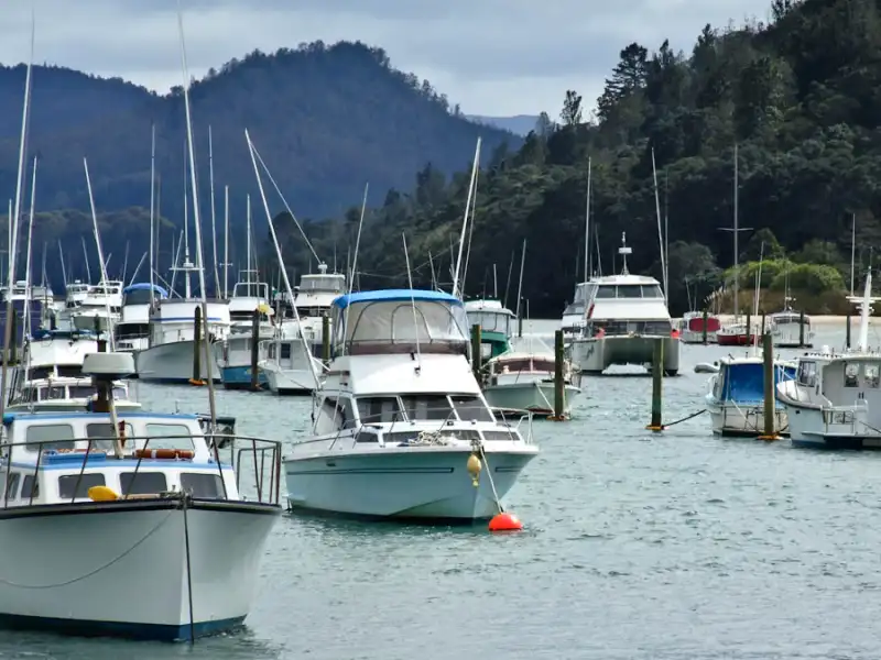
- MetService Marine — Coromandel — sea state, swell and gale warnings if you are boating or fishing.
- Wind-specific: WindFinder or PredictWind give detailed gust and direction forecasts that boaties and surfers rely on.
For the south end of the peninsula, our local Whangamatā weather page and Whangamatā tide times are handy companions if you are timing a beach day or a Hot Water Beach dig.
Understanding MetService Watches vs Warnings
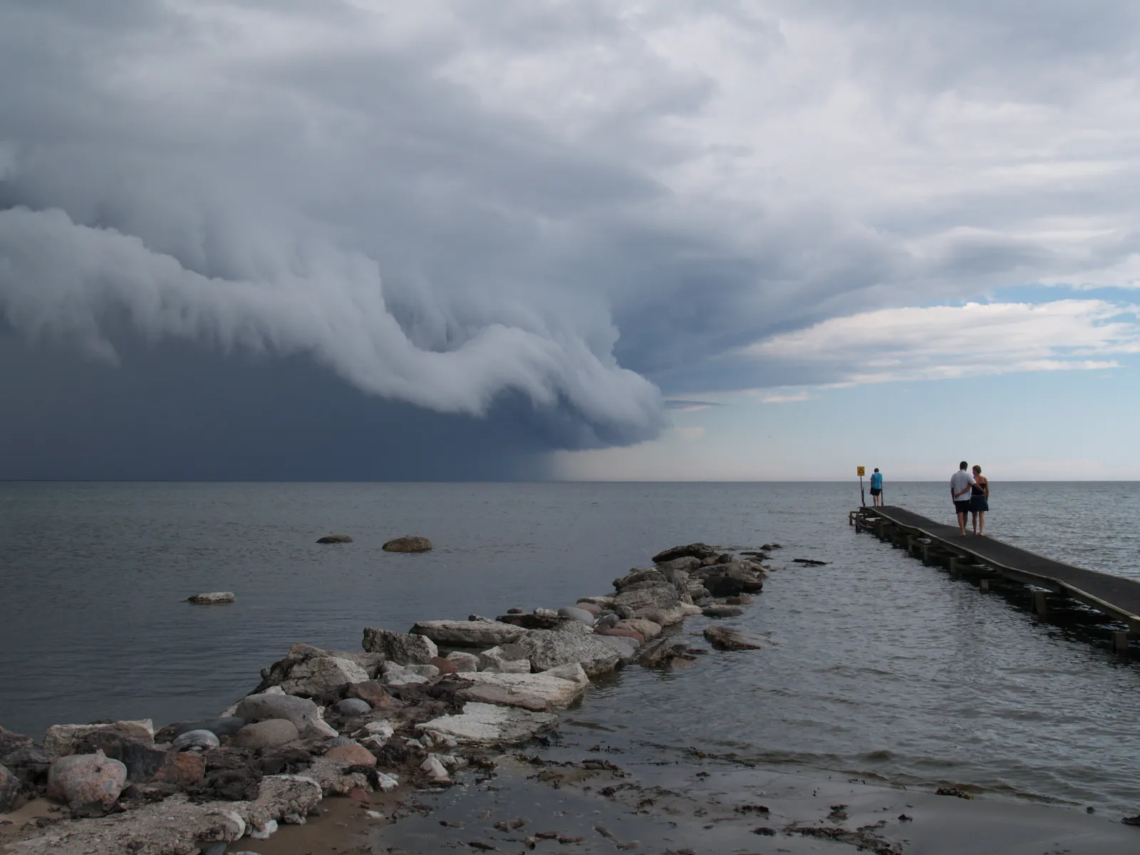
The intent behind “severe wind warning Coromandel” usually comes down to one question: is it safe to drive or go out today? MetService uses a clear, escalating system. Knowing the difference saves you cancelling a trip you didn’t need to — or pressing on when you shouldn’t.
| Alert level | What it means | Typical Coromandel trigger |
|---|---|---|
| Watch | Severe weather is possible but not certain — stay alert and check for updates. | An approaching front or ex-tropical low that may bring damaging wind or heavy rain. |
| Orange Warning | Severe weather is expected — take action, expect disruption. | Severe gale northerlies/easterlies, or heavy rain on the ranges that can flood SH25. |
| Red Warning | Extreme, dangerous conditions — act now, avoid travel. | A direct cyclone hit with destructive wind and major flooding. Rare but it does happen. |
| Thunderstorm Watch/Warning | Heavy downpours, hail, strong gusts, small tornado risk. | Summer and autumn instability, often in the late afternoon. |
Wind thresholds: a Strong Wind Watch flags possible severe gales; a Wind Warning is issued when mean winds are expected to reach roughly 90 km/h or gusts around 110 km/h+ in exposed places. On the Coromandel “exposed places” means ridgelines, headlands, and the open coast — gusts there can be far stronger than in sheltered Thames or Coromandel Town harbour.
Coromandel climate month by month
The peninsula sits in a warm-temperate maritime zone. Summers are humid and settled with sea breezes; winters are mild and wet rather than cold. Frost is uncommon near the coast. Note the rainfall split: coastal towns get around 1,250 mm a year, but the bush-clad Coromandel Range can collect 3,000 mm and occasionally over 4,500 mm, which is why heavy-rain warnings hit the inland roads and rivers hardest.
| Season | Avg high | Avg low | Feel |
|---|---|---|---|
| Summer (Dec–Feb) | ~22–25°C | ~14–18°C | Warm, humid, busiest — book ahead |
| Autumn (Mar–May) | ~18–23°C | ~11–16°C | Warm sea, settled spells, cyclone tail-end risk |
| Winter (Jun–Aug) | ~13–15°C | ~6–10°C | Mild, wet, green and quiet |
| Spring (Sep–Nov) | ~16–21°C | ~9–14°C | Changeable, windier, warming up |
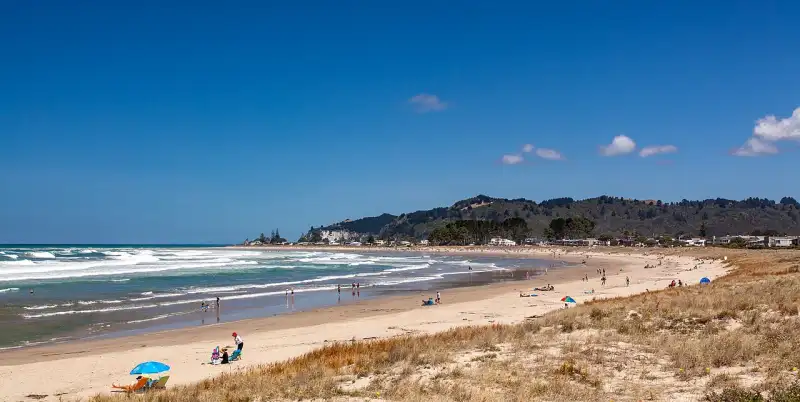
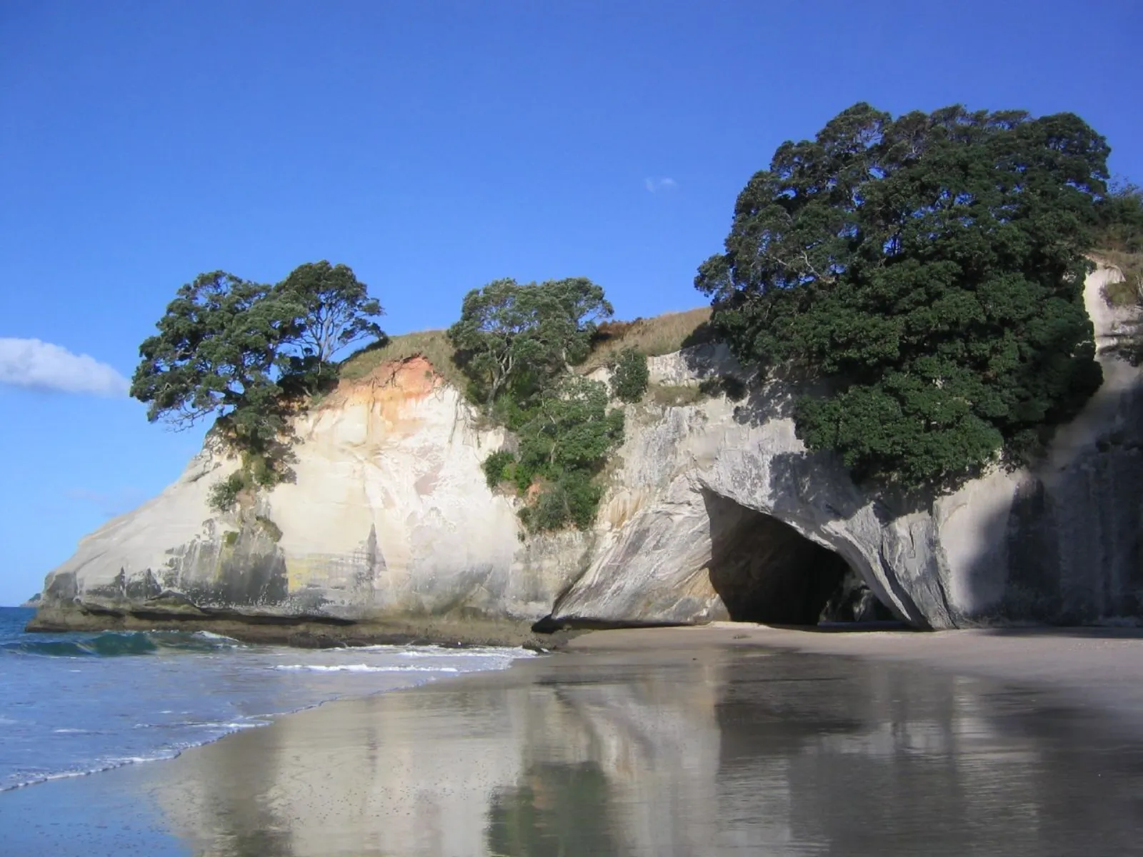
February is typically the warmest month (highs near 22°C, often warmer inland) and July the coolest. The sea is at its most swimmable from January through April, when water temperatures sit around the low 20s°C — better for a late-season dip at Cathedral Cove or Hot Water Beach than you’d guess.
Severe weather and the roads: what actually gets disrupted
When a warning lands, the practical risk on the Coromandel is less about the towns and more about the narrow, winding state highways that hug the coast and cross the ranges:
- SH25 and SH25A — slips and surface flooding in heavy rain; fallen trees and debris in severe wind. SH25A has a history of closures after major storms, so check Waka Kotahi / NZTA journey planner.
- The 309 Road and other unsealed inland routes — avoid these in heavy rain.
- Exposed headlands and the far north (Fletcher Bay end) — wind gusts are strongest here and tracks become exposed.
- River and stream crossings — never drive through floodwater; Coromandel rivers rise fast off the steep catchments.
If you’re driving up from the city, our Auckland to Whangamatā route guide notes the pinch points worth checking before you leave.
Best time to visit for good weather
For the most reliable sunshine and warm sea, target late January to April — peak crowds ease after Waitangi weekend while the weather stays excellent. December and early January are gorgeous but very busy and pricey; if you want fewer people and don’t mind a jacket, March–April is the local sweet spot. Winter is genuinely pleasant for walks like the Pinnacles on a clear day — just watch the forecast, as the Kauaeranga Valley catches a lot of rain. Plan the wider trip with our Coromandel Peninsula local’s guide and the Coromandel hub.
🗺️ Directions (Google Maps)🚗 Open in Waze
Frequently asked questions
Is there a severe wind warning for the Coromandel today?
Warnings change hour to hour, so we don’t publish a live alert here. Check metservice.com/warnings for the official, current Watches and Warnings for the Coromandel forecast district before you travel — it lists wind, heavy rain and thunderstorm alerts together.
How much does it rain on the Coromandel?
It depends where you stand. Coastal towns like Coromandel Town average around 1,250 mm a year, while the forested ranges behind them can receive 3,000 mm or more. That’s why heavy-rain warnings most affect inland roads, rivers and bush walks rather than the beaches.
When is the weather best for a Coromandel holiday?
Late January through April offers the warmest sea and most settled, sunny weather with thinning crowds. December–January is hot but very busy; winter is mild, green and quiet, with more rain and the occasional big storm.
Does the Coromandel get cyclones?
Yes — ex-tropical cyclones occasionally track down from the Pacific in summer and autumn, bringing the peninsula’s most severe wind and flooding. They’re infrequent but significant, and are always flagged in advance by MetService as Orange or Red Warnings, so heed travel advice when one is forecast.