
Important first: Motutere / Castle Rock is under an indefinite rāhui (a Māori ritual prohibition) and is closed to the public. This guide explains what the peak is, why it is closed, and where to walk instead — it is not a how-to-climb-it-now guide. Please respect the closure and the wishes of the iwi who own and care for the maunga.
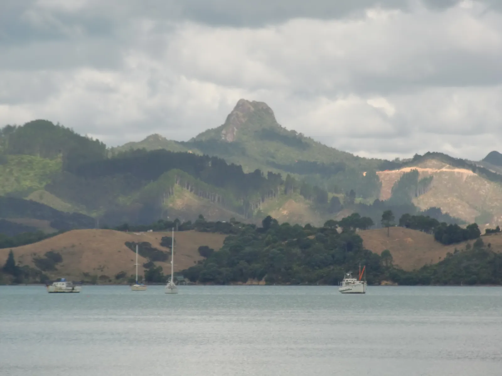
Castle Rock — officially gazetted as Motutere / Castle Rock — is one of the most recognisable landmarks on the Coromandel Peninsula: a sheer 525-metre volcanic plug that rises out of the bush like a fortress, visible for miles along the 309 Road between Coromandel Town and Whitianga. For years it was a popular short, steep summit scramble with 360-degree views. Today the situation is different, and any honest guide has to start there.
⏱️ Time: N/A — track closed (historically ~1.5 hrs return) • 💲 Cost: Free, but access not permitted • 🥾 Effort: Was steep/hard; final rock scramble • 📍 Near: 309 Road, ~8 km SE of Coromandel Town
Why Castle Rock is closed
In 2018, following two climbing deaths on the crag, Ngāti Huarere — the iwi who legally own the maunga — placed an indefinite rāhui over Motutere. A rāhui is a customary restriction used in te ao Māori to protect people and place, often after a tragedy or loss of life. In this case it both honours those who died and recognises that the owners no longer wish the land to be publicly accessed.
The mountain is private property. Signs at the access track make the closure clear, and there is no official reopening date. While some walkers and climbers have continued to go up despite the signs, doing so means trespassing and ignoring the rāhui — and the safety risks that prompted it remain very real. We strongly encourage visitors to stay away until and unless access is formally restored by the iwi. For live status, the Coromandel i-SITE and Coromandel Town Information Centre are the best places to check.
What Castle Rock actually is
Geologically, Motutere is a classic volcanic plug — the solidified core of an ancient volcano, left standing after the softer surrounding rock eroded away over millions of years. The Māori name Motutere is often translated as “floating island,” which captures how the bare grey tower seems to hover above the forested ridgeline.
| Feature | Detail |
|---|---|
| Official name | Motutere / Castle Rock (gazetted 2018) |
| Height | 525 m (about 1,722 ft) |
| Geology | Volcanic plug (solidified magma core) |
| Location | Coromandel Range, ~8 km SE of Coromandel Town, off the 309 Road |
| Access status | Closed — indefinite rāhui, private land (since 2018) |
| Former track | Steep ~1.9 km out-and-back, ~1.5 hrs return, rock scramble at the top |
Where it is (and where to view it from a distance)
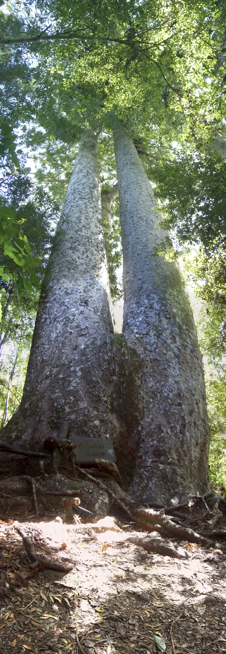
Castle Rock sits above the 309 Road, the famous unsealed shortcut that links Coromandel Town with the Whitianga side of the peninsula, passing the Waiau Waterworks and the 309 kauri grove. You cannot legally go up the maunga, but you can still appreciate its dramatic shape from the public road as you drive the 309 — a worthwhile experience in its own right, with the Waterworks, waterfalls and ancient kauri nearby.
If you want to set your sat-nav to the general area (for the public 309 Road, not to access the closed track), the directions below point to the road itself.
🗺️ Directions (Google Maps)🚗 Open in Waze
From Whangamata it is roughly a 1 hr 45 min – 2 hr drive up the eastern side of the peninsula to the 309 Road area; from Coromandel Town it is only about 10–15 minutes.
Walk these instead — legal Coromandel summit and view walks
The good news: the Coromandel is full of spectacular, legal, well-maintained walks that deliver the same big-views reward without breaching a rāhui or putting yourself at risk. Here are the best alternatives, all covered in our guides.
| Walk | Effort | Why go |
|---|---|---|
| The Pinnacles | Hard, 6–8 hrs return (or overnight) | The peninsula’s iconic rocky summit and 360° ridge views — the legal “big climb” |
| Coromandel Coastal Walkway | Moderate, ~3.5 hrs one way | Dramatic clifftop and island views at the wild tip of the peninsula |
| Cathedral Cove | Easy–moderate, ~1.5–2 hrs return | Famous sea arch and coastal lookouts near Hahei |
For more options, browse our full things to do in the Coromandel guide, or pair a walk with a soak at Hot Water Beach and a day in Whitianga and Mercury Bay.
Practical tips for the 309 Road area
- The road is unsealed in long sections — drive slowly, watch for oncoming traffic and dust, and keep left on blind corners.
- No services on the 309 itself — fuel and food are in Coromandel Town or Whitianga, so fill up first.
- Check the weather before heading into the ranges; cloud and rain roll in fast. See our Whangamata weather page for a regional read.
- Staying over? Base yourself in Whangamata accommodation for the east coast, or in Coromandel Town for the 309 and west coast.
- Driving up from the city first? See our Auckland to Whangamata route guide.
Frequently asked questions
Can you still climb Castle Rock in the Coromandel?
No — not legally or respectfully. Motutere / Castle Rock has been under an indefinite rāhui since 2018 after two climbing deaths, and it is private iwi-owned land that is closed to the public. There is no official reopening date. Please do not climb it; choose one of the legal alternatives like the Pinnacles instead.
What is a rāhui and why does it matter here?
A rāhui is a customary Māori restriction placed on an area, often to protect people, restore something that has been depleted, or mark a place where lives have been lost. The rāhui on Motutere reflects both the deaths on the crag and the owners’ wish to keep the maunga safe and respected. Honouring it is part of being a responsible visitor in Aotearoa New Zealand.
How high is Castle Rock and what type of rock is it?
It stands about 525 metres (roughly 1,722 ft) and is a volcanic plug — the hardened core of an ancient volcano, exposed after the softer surrounding rock eroded away. Its bare, castle-like tower is what gives it the English name.
Can I still see Castle Rock without breaking the closure?
Yes. You can view its striking shape from the public 309 Road as you drive between Coromandel Town and Whitianga, and combine it with legal stops nearby like the Waiau Waterworks, the 309 waterfall and the kauri grove. Just don’t enter the access track or climb the maunga itself.